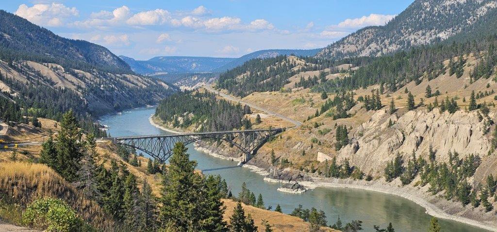
Cowboys and rodeos epitomize Chilcotin Country stretching far beyond the west side of the mighty Fraser River. Head due west on Hwy 20 after crossing Sheep Creek Bridge, across the wide expanse of the Chilcotin Plateau. The highest peaks in British Columbia form the Chilcotin Mountain Ranges as part of Cariboo-Chilton-Coast region.
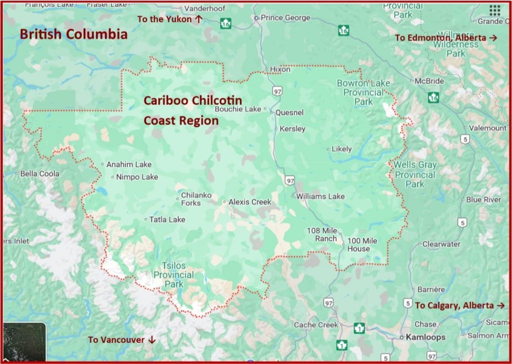
Turn west at Williams Lake, pass the Stampede Grounds, and ramble along on Hwy 20. The highway connects grasslands, big rivers, steep canyons and rugged mountain terrain to temperate rain forest at the head of the fjords.
This is ranching country and the traditional territory of the Tsilhqot’in Nation, where Indigenous culture, ranching traditions and spectacular wilderness landscapes have shaped the region for thousands of years. In 1864, it was the site Tsilhqot’in (Chilcotin) War, when Tsilhqot’in leaders resisted the construction of a wagon road through their territory during the gold rush era. The conflict remains one of British Columbia’s most significant historical events and is an important part of the province’s shared history.
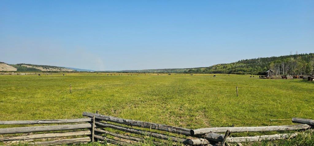
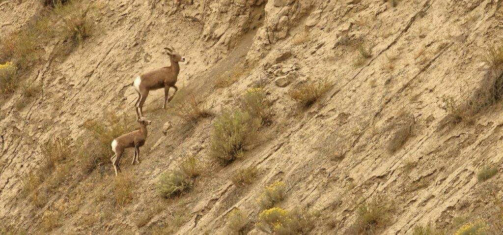
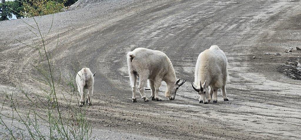
The Chilcotin Ark defines a vast diverse ecosystem stretching from the Fraser River in the Cariboo to the Coast Mountains, known for thriving populations of California big horn sheep, grizzly and black bears, mountain goats, cougars and wolves.
The Fraser Plateau was smoothed by glaciers’ massive weight, over a mile thick, leaving a layer of glacier drift which ramps up hay production on the range. The plateau spreads from the Fraser River to the east, and the Chilcotin River to the west, with steep-sided valleys carved from the Ice Age.
Directions & Estimated Driving Time: Stretching 450 km / 280 mi from Williams Lake to Bella Coola, driving time along Hwy 20 will take up to six hours. Some key driving distances include: Williams Lake to Hanceville 97 km / 60 mi, Hanceville to Chilanko Forks 90 km / 55 mi, Chilanko Forks to Nimpo Lake 124 km / 76 mi, Nimpo Lake to Bella Coola 158 km / 98 mi.
Where to Camp: For campgrounds and parks available in this area go to Camping & RV in BC and search under the appropriate community.
Things to See and Do in the Chilcotin
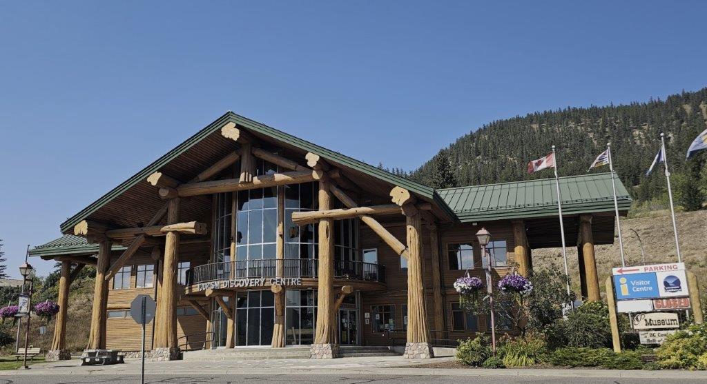
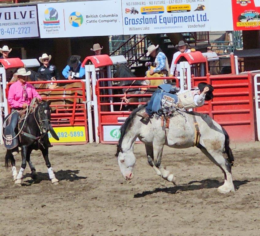
Williams Lake. A large mill town and commercial centre. Home to the 100-year-old Williams Lake Stampede, held annually on the July 1st Canada holiday weekend. Check out the Tourism Discovery Visitor Centre which houses the BC Cowboy Hall of Fame recognizing famous cowboys, with their saddles, spurs, brands and rodeo trophies. A marker celebrates the 25th Anniversary of the “Man in Motion” world tour made famous by Rick Hanson who wheeled 40,000 km / 25,000 mi between 1985 and 1987 as a paraplegic to raise $400 million to assist people with disabilities.
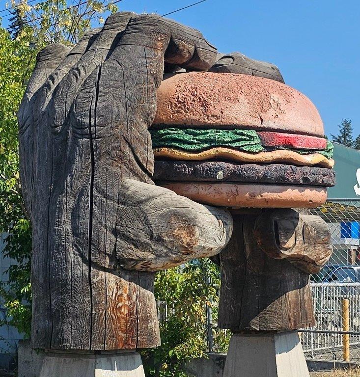
Hanceville, also known as “Lee’s Corner”, is 97 km / 60 mi west from Williams Lake and the junction of a dirt road to the Gang Ranch, a huge historic cattle ranch founded in 1863.
Motorhome travel in the backcountry where roads are slippery when wet, is not advised.
Junction Sheep Range Park (JSR). South off Hwy 20 just before Riske Creek along the Farwell Canyon Road – approximately 30 km / 18 mi. Home to spectacular scenery including cliffs and hoodoos, the park was created to protect the Very Hot Dry Bunchgrass Bioclimatic Sub- Zone where intense heat, little precipitation and frigid winters create challenging growing conditions. However, to get there you will negotiate steep grades and switchbacks that drop 2,100 ft / 650 m from the plateau to the meeting of the Chilcotin and Fraser Rivers. According to BC Parks, access to Junction Sheep Range Park is difficult, via rough four-by-four dirt roads through private ranchlands.
At Farwell Canyon watch for sand surfers carving up the massive sand dunes. Indigenous fishers can often be seen dip-netting salmon during the fall migration and hoodoos loom along the steep banks of the Chilcotin River.
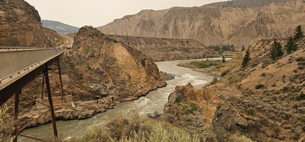
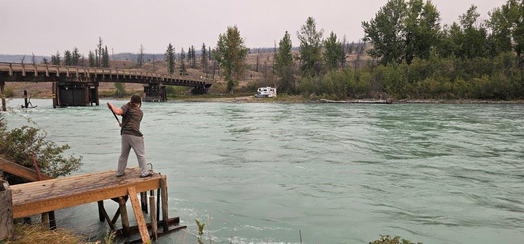
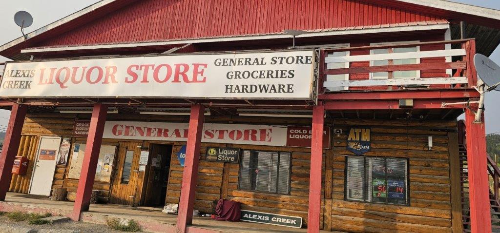
Alexis Creek. A small community along the highway between Hanceville and Redstone. Bull Canyon Park is accessible just west of the community and worth stopping at for a break and a short walk along the trail. Located on a scenic canyon along the glacial blue Chilcotin River.

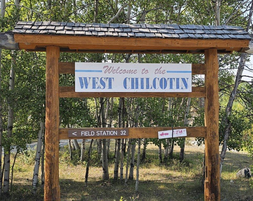
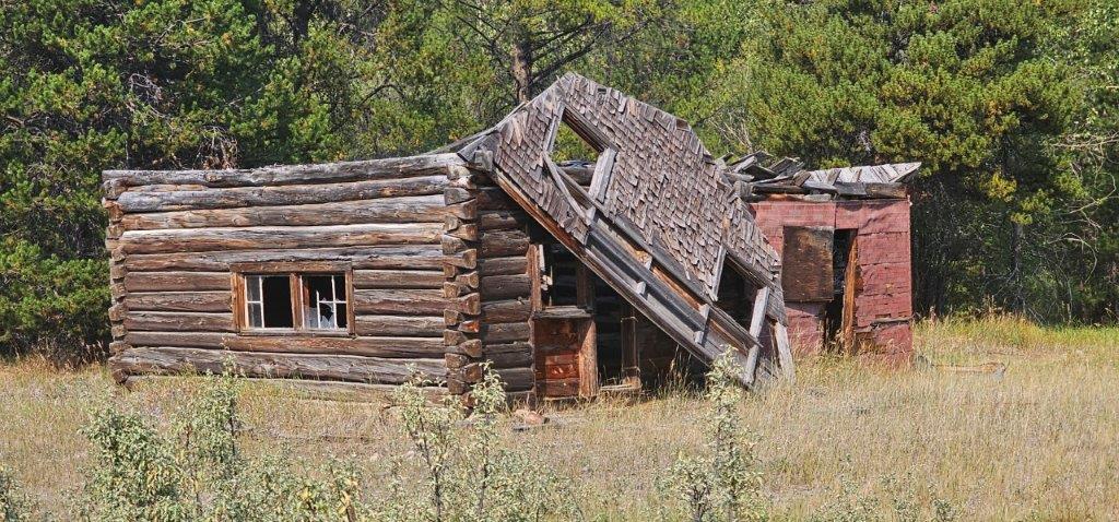
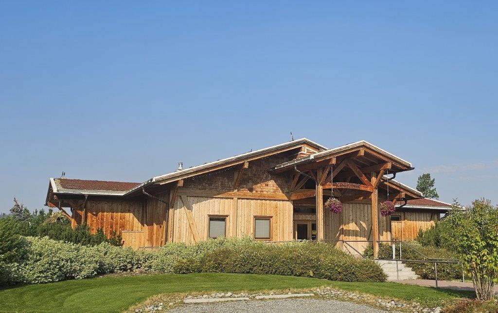
Redstone. 60 km / 37 mi from Hanceville. KiNiKiNiK Restaurant & Store located in Redstone has a sod roof portraying the dedication to sustainable farming on nearby Rafter 25 Ranch and offers Pasture-to-Plate foods and menu.
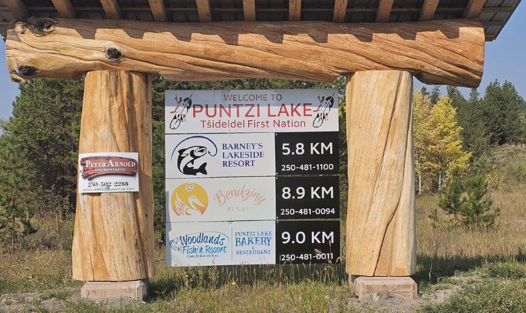
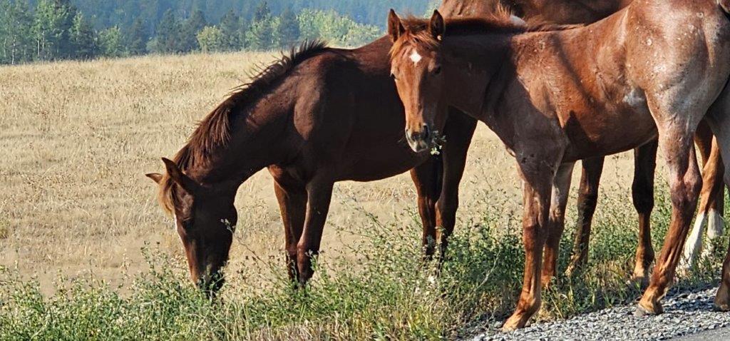
Puntzi Lake. 30 km / 18 mi along the highway from Redstone is Chilanko Forks. Turn north here for 11 km / 7 mi to Puntzi Lake. A popular summer area for water activities including fishing. Also a bird watching paradise.Flocks of American white pelicans use the lake as a food source. Trumpeter swans feed at Pollywog Marsh during the annual migrations.During the Cold War in the 1950s, the US Air Force established a radar station at Puntzi Mountain as part of the Pinetree Line, with a large base and airport under the North Atlantic Air Defense Command (NORAD). The airstrip remains today.
Tatla Lake. This historic ranching community lies 47 km / 29 mi west from Chilanko Forks. Tatla Lake and the surrounding area offer an abundance of outdoor activities such as hiking, canoeing, fishing and wildlife viewing.
Nearby Tatlayoko Lake – 25 km / 15 mi south-west from Tatla Lake on paved/gravel roads has stunning glacier-fed lakes and alpine valleys with views of towering Mount Waddington at 13,172 ft / 4,016 m, the highest mountain in BC.
Kleena Kleene. 15 km / 9 mi along Hwy 20 from Tatla Lake. This is a departure point for float-plane excursions to backcountry hiking in alpine wilderness.
Nimpo Lake. This service centre and general store is 62 km / 38 mi from Kleena Kleene. A popular area for canoeing, kayaking and hiking. It is also the primary float-plane base in the area serving backcountry camping and fly-in fishing.
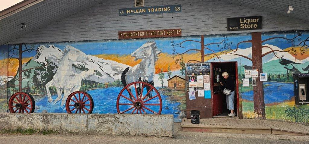
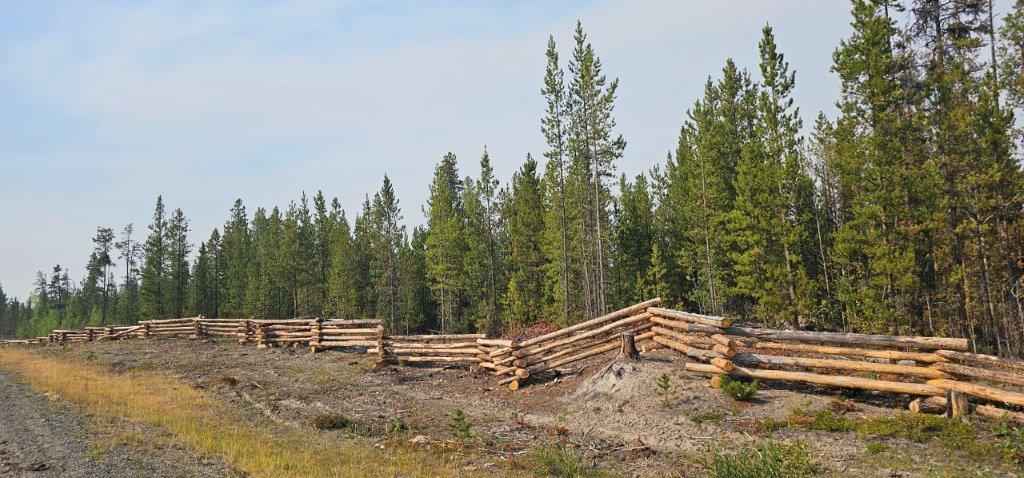
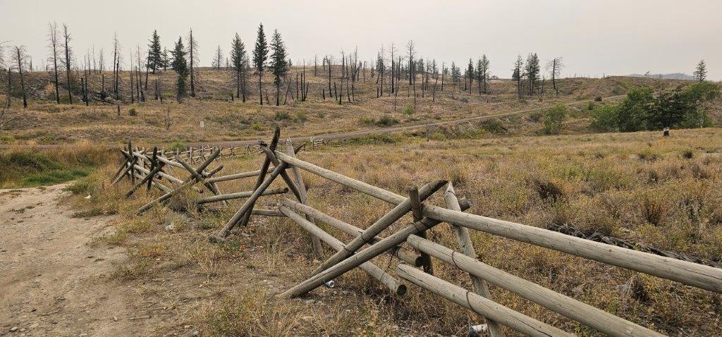
On the highway, follow along miles of split log or pole fencing. The artistry is given different names such as post and rail, a Russell fence, “cowboy” fence, snake rail, and Cariboo fencing.
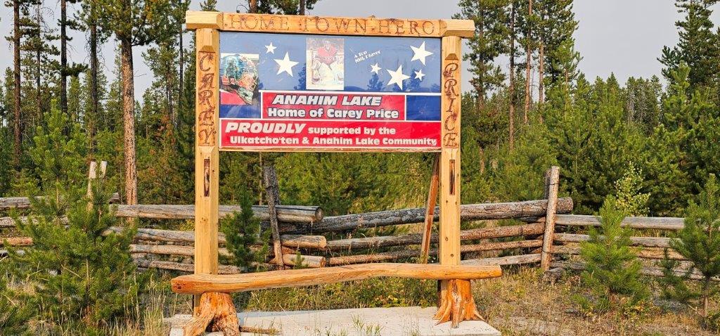
Anahim Lake. This is the eastern gateway to Tweedsmuir Provincial Park and is 21 km / 13 mi from Nimpo Lake. The area contains important cultural and archaeological sites connected to the Ulkatcho First Nation and neighbouring Indigenous communities. Just beyond this community the highway changes to gravel as it descends into Bella Coola.
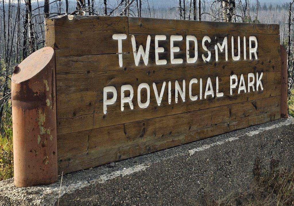
South Tweedsmuir Provincial Park. Highway 20 bisects BC’s largest provincial park. Blessed with some of the most spectacular scenery in the country, Tweedsmuir draws outdoor enthusiasts for its fishing, hiking, horseback riding, camping and canoeing. There is a vast system of mountainous hiking trails popular for bear viewing, especially during the annual salmon run.
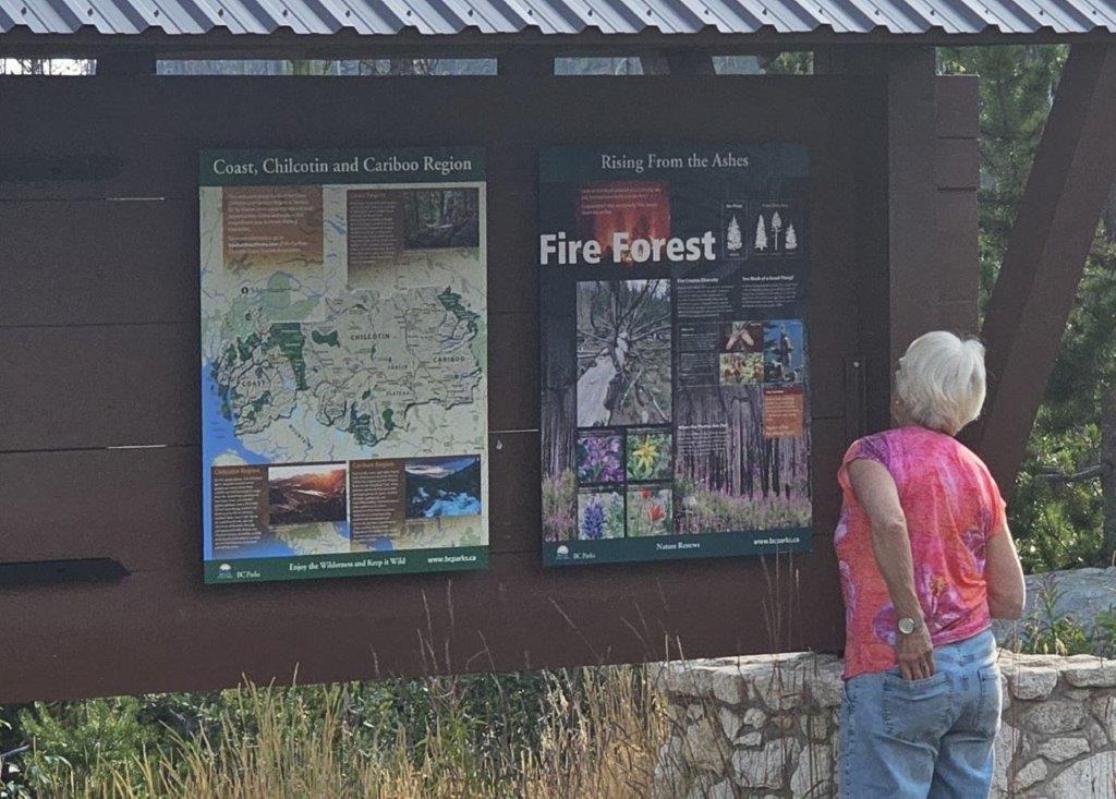
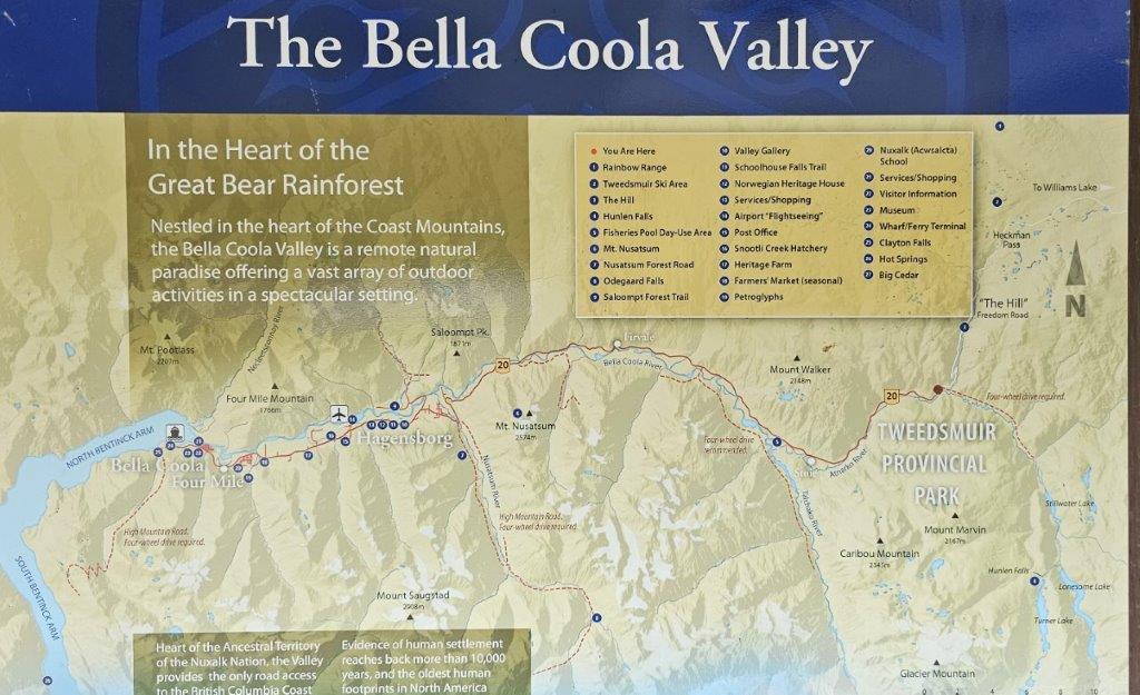
The Geological Divide separates the Northern Pacific Ranges of the Coast Mountains and the Bella Coola Valley. The jagged edges of mountain ridges of the Parthenon Range in the far-off distance are a sign of ongoing erosion, where younger granite rock is more brittle. The milky colors of the rivers come from rock ground to a fine “flour” by glacial ice.
Heckman Pass is the divide between the Chilcotin Plateau where it is all downhill from 5,000 ft / 1,524 m above sea level to the Bella Coola Valley situated on tidewater at Bentinck Arm.
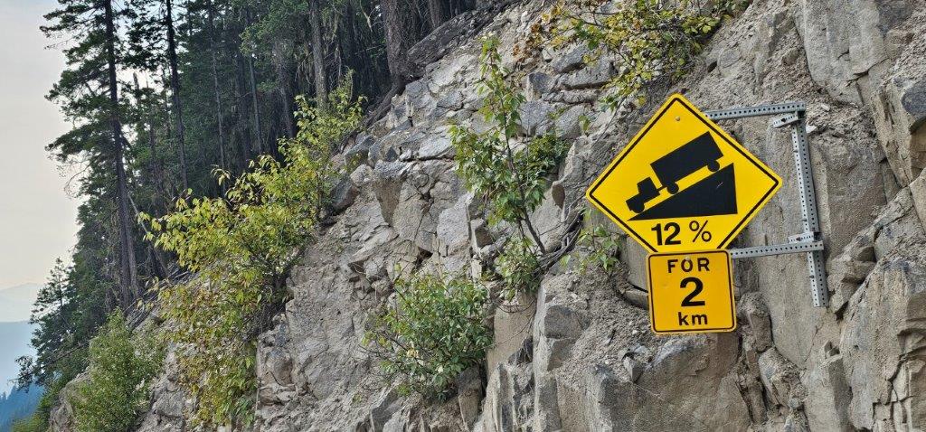
The “Big Hill”. This all-season gravel road covers 57 km / 35 mi through challenging terrain. Grades up to 18%, switchbacks, and no guard rails create a drive that requires appropriate tires and brakes. Some come for the thrill of the hill, and others white-knuckle along the cliffs. It was known as “The Freedom Road” when two Caterpillar tractors punched the road through the canyon from Anahim Lake to Stuie in the 1920s. It was described as a way out of an isolated fjord!
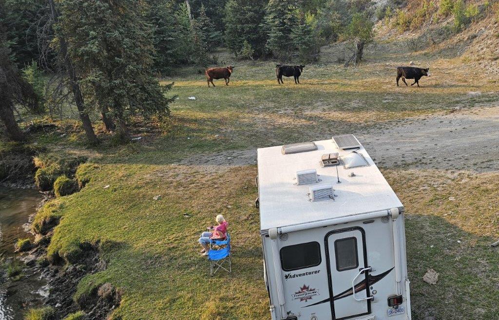
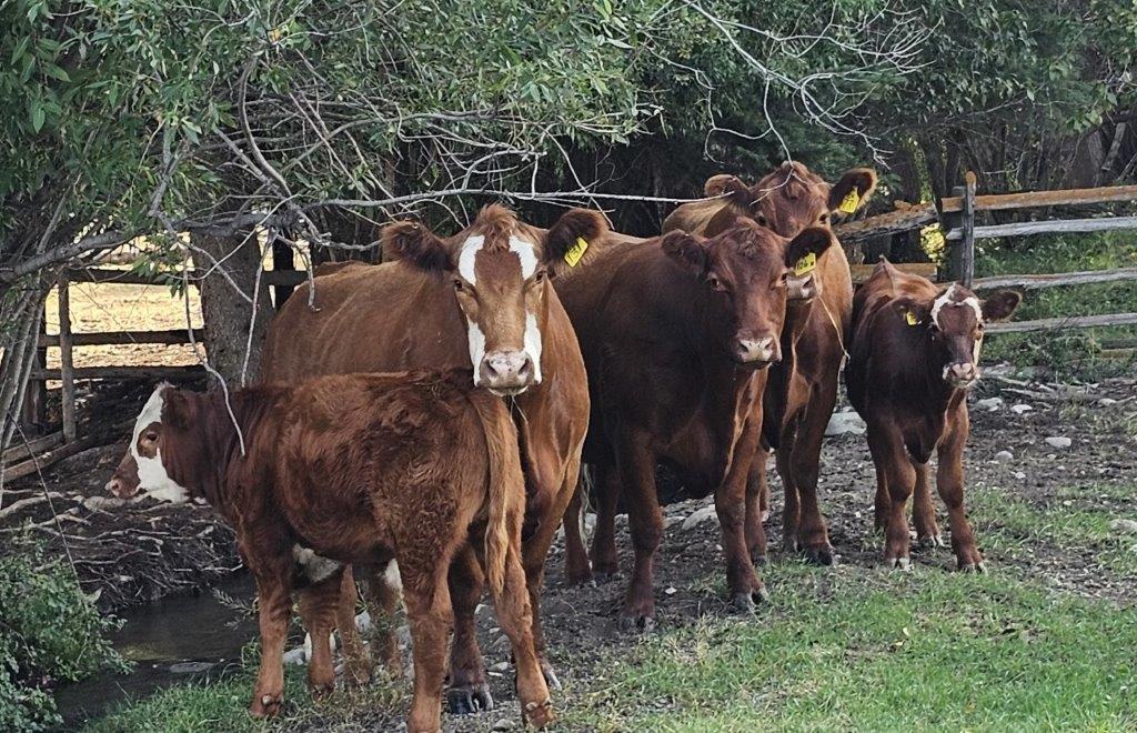
Atnarko Corridor. A campground and day use area near the foot of “The Hill”, is nestled among old growth Douglas fir trees. The campground is closed from August 15 each year as a security measure when bears gather to feed on the salmon run.
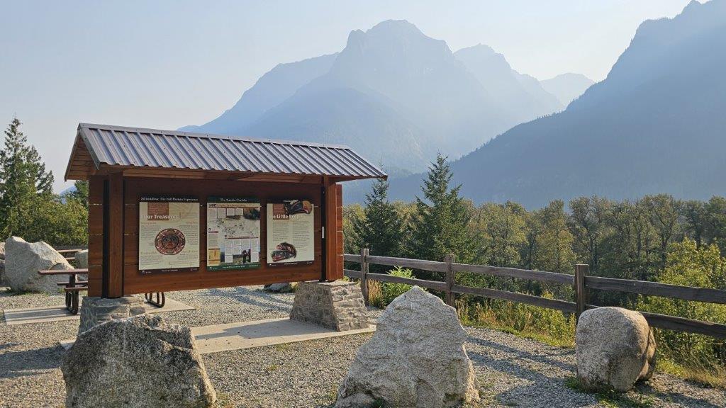
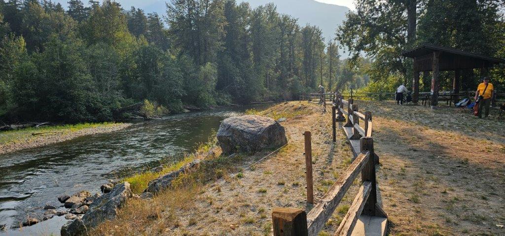
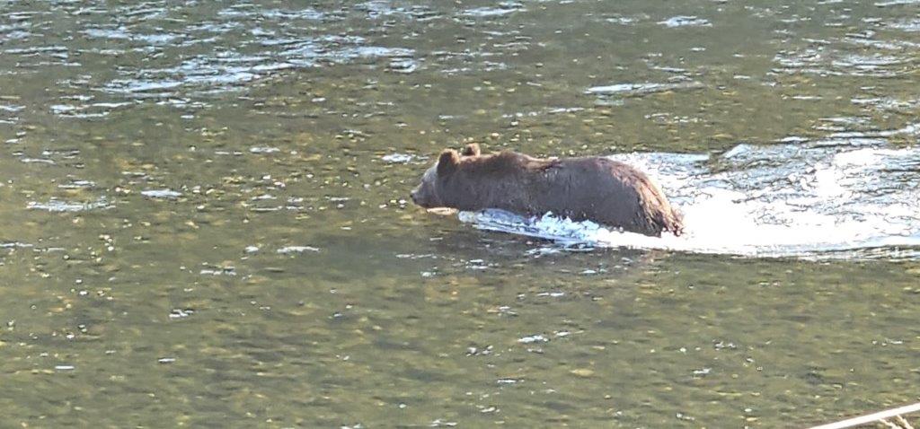
Belarko Wildlife Viewing area is bound by an electric fence overlooking the Atnarko River to control observation of bear behaviour during prime-time Sept 1-30 when grizzly bears are on the hunt for wild salmon. Wardens strictly enforce viewing protocols.
Hagensborg. Just 17 km /10 mi from Bella Coola lies Hagensborg. Arriving by steamship in 1894, a boatload of hardy Norwegian settlers from Minnesota were seeking isolation from temptations of the outside world. Today, the Norwegian Heritage House displays household tools and fashion. Augsburg United Church was transformed from a Norwegian Evangelical Lutheran Church and still serves local parishioners. Organic farms offer fruit and veggies. Apple orchards attract bears in the Fall.
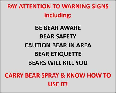
Hwy 20 is remote, isolated and ends at Bella Coola. Grizzly bears are in abundance and are dangerous. They will attack. Pay attention to important information on being safe among bears and other BC wildlife.
WildSafeBC
Wildlife Safety
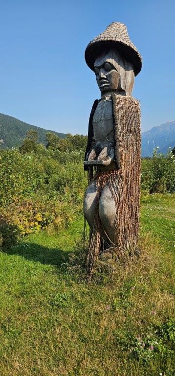
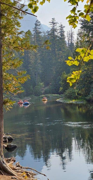
Bella Coola, located at the end of Hwy 20 on North Bentinck Arm in the heart of the stunning Great Bear Rainforest. A variety of guided tours offer grizzly-bear watching, horseback riding, and introduce visitors to Nuxalk culture, ancient petroglyphs and other important cultural sites. This is your chance to experience the true wild coast of British Columbia. Kopas General Store is a historic landmark offering a selection of outdoor wear, books, and souvenirs.
BC Ferries Central Coast service. RVs can connect to the southbound journey to Port Hardy on Vancouver Island on the Discovery Coast service, or northbound to Prince Rupert for a circle tour joining the Yellowhead Hwy to Prince George. Regular schedules by the Northern Seawolf and Northern Expedition are often fully booked. Reservations are necessary. A vessel location map at the terminal tracks the location of the two vessels on Microsoft Virtual Earth.
In 1793, Alexander Mackenzie travelled portions of the ancient Nuxalk Grease Trail, a trade route that had connected Indigenous communities for centuries through the exchange of eulachon oil, hides and other goods. This heritage trail crosses Tweedsmuir Provincial Park and ends on tidewater at an isolated provincial marine park bearing his name. The national site on Dean Channel is accessible only by boat and float plane during favorable weather.
Where to Camp along the Chilcotin-Bella Coola Highway
Campgrounds. Refer to the Super Camping guide for private RV parks who are members of the BC Campgrounds & Lodging Association. Also Camping & RV in BC
BC Provincial Parks. Refer to Go Camping for provincial parks
Rec Sites. Riske Creek, Bechers Pond near Riske Creek, and Tatlayoko Lake.
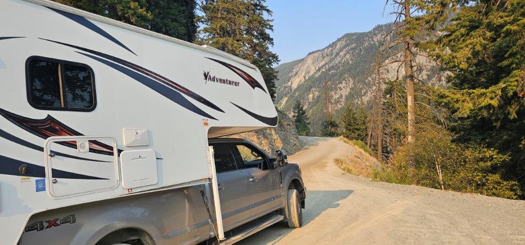
A Truck/Camper with slide-out is the RV of choice for travel on dirt roads in Chilcotin Country.
Other Information to Help You Plan Your Trip
Respect Indigenous Lands – Much of this journey travels through the traditional territories of the Tsilhqot’in Nation, Ulkatcho First Nation and Nuxalk Nation. Visitors are encouraged to respect cultural sites, observe posted signs and learn about the rich Indigenous history and living cultures that continue to shape the region today.
Historic Driving Tour Guide – a driving guide to the Cariboo Chilcotin area
Cariboo Chilcotin Coast Road Trip the Chilcotin Highway
Explore these road trips at Camping & RVing BC:
– Circling British Columbia’s Wild Cariboo
– Following the BC Gold Rush Trail through the Cariboo & Beyond
Photo Credits: Sandra Keele and Gord Rees. Adventure Driven.