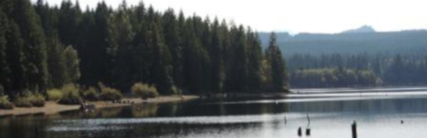
Fry Peninsula
Campbell River, BC
Number of
Sites: 7
Sites: 7
There are three parts to site: a single unit near the FSR, 5 defined campsites in the main, open area (an old gravel pit) and another campsite further down the road. Caution: the lake level can rise suddenly without warning! (levels are controlled by BC Hydro). Site is located along the Sayward Forest Canoe Route.
Amenities
Directions
From Campbell River, head west on Highway 28. Turn right at the top of General Hill and drive across the John Hart dam. Turn left onto Brewster Lake Road (gravel) and follow it for 10.8 km to the 4-way junction. Take the Campbell Lake Road for another 12.4 km and you’ll come to the turnoff to Fry Peninsula (gravel pit). Site is 45 minutes (29.5 km) from town.Photos


Stay up to date on all the
Travel and Camping News
The most recent newsletters are here to help in your British Columbia travel plans. Trip ideas, stories from campers just like you, RV drives, camping news and more.