Sugar Lake 9 Mile
Cherryville, BC
Number of
Sites: 7
Sites: 7
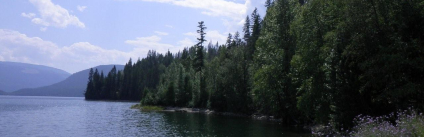
On the west shore of Sugar Lake looking East towards a view of Sugar Mountain which has an elevation of 2190 m/7185 ft. as the sunrise in the morning over the lake it is a beautiful view.
Amenities
Directions
On Hwy 6 at Cherryville turn North onto Sugar Lake Road for +/-17 km and for +/- 8 km on a Forest Service Road North along the west shore of Sugar Lake at about +/- 9 km on the FSR.Photos


Stay up to date on all the
Travel and Camping News
The most recent newsletters are here to help in your British Columbia travel plans. Trip ideas, stories from campers just like you, RV drives, camping news and more.